
Maxar Technologies publishes new satellite photos of destroyed Kakhovka HPP

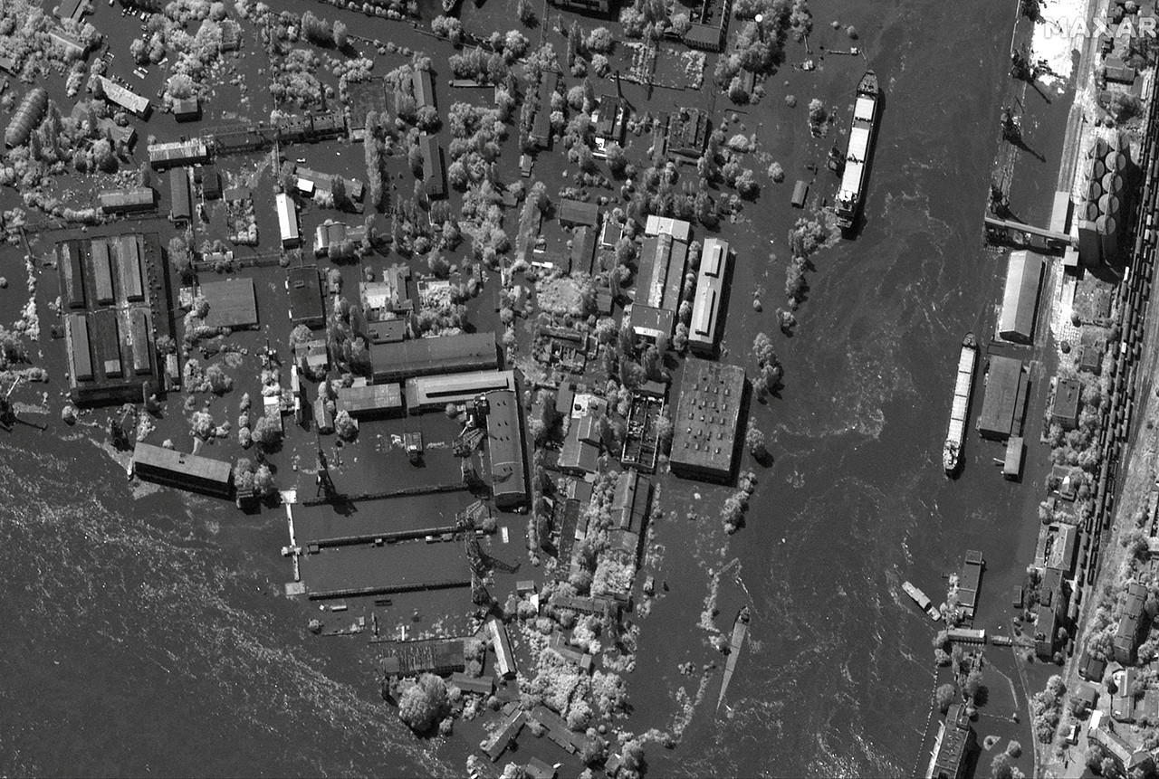
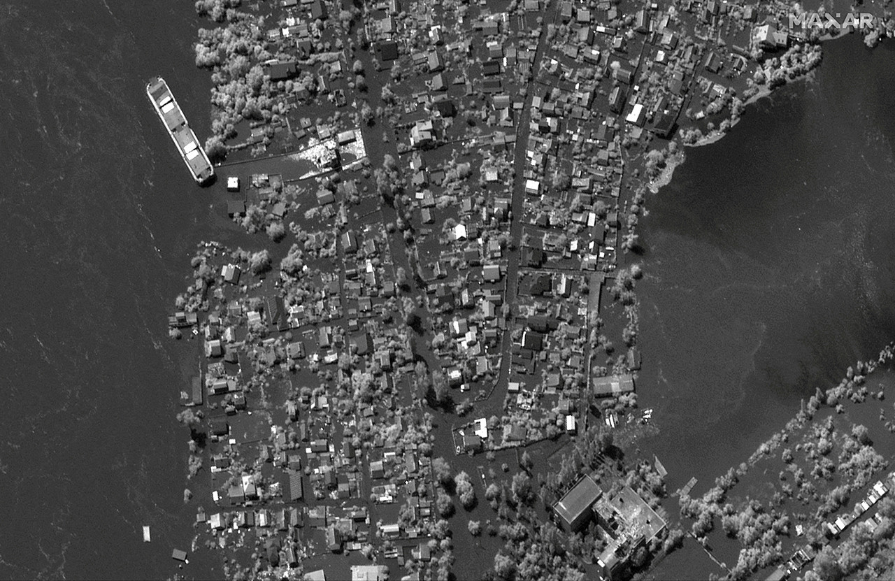
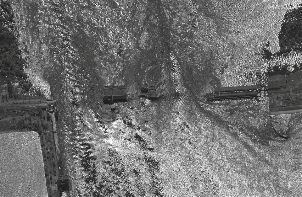
Maxar Technologies published new satellite photos on Wednesday, 7 June, showing the extent of flooding in Kherson Oblast after occupiers blew up the Kakhovka HPP
client/title.list_title
The Guardian reported about this.
Maxar noted that the images cover over 2,500 square kilometres between Nova Kakhovka and the Dnipro Bay southwest of Kherson, giving an idea of the crisis scale.
"The images show houses and buildings submerged in water, with many having only their roofs showing, and water taking over parks, land and infrastructure," the statement said.
-
On Tuesday, 6 June, Russian occupation forces blew up the Kakhovka hydroelectric power plant, which completely destroyed it. Evacuation of residents of dangerous areas began, and the President of Ukraine convened an emergency meeting of the Security and Defense Council. For a detailed summary of the events, click here.

Read also:


- News